NASA
Jet Propulsion Laboratory
California Institute of Technology
Skip Navigation
Ocean Surface Topography from Space
Stay Connected
menu
close modal
Resources
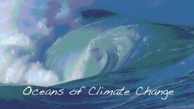
Oceans of Climate Change
Published:
April 21, 2009
Oceans of Climate Change
ENLARGE
Related
B-roll for media. The Sentinel-6 Michael Freilich is an Earth-observing satellite that will collect data on sea level and how it changes over time. By measuring sea surface height, scientists world...
Sentinel-6 Michael Freilich Media Reel
SSH and SST - Global
SSH and SST - Global
Jason-3 Animation
Jason-3 Animation
Watch the Jason-3 Mission Briefing from Friday, Jan 15, 2016 - panelists gave an overview of the Jason-3 mission.
Getting To Know Jason-3
This video discusses the water cycle, which is the movement of water around the Earth, and its importance to life. Changes to the water cycle affect climate and vice versa.
Water, Water Everywhere!
TOPEX/Poseidon Instruments
TOPEX/Poseidon Instruments
Our World: How High is the Ocean?
Our World: How High is the Ocean?
Sea Surface Height - Global Average from 1993 - 2011.
Sea Surface Height 1993 - 2011
Sea Surface Height 01/2006-04/2010
Sea Surface Height 01/2006-04/2010
QuickTime VR of TOPEX/Poseidon
QuickTime VR of TOPEX/Poseidon
Sentinel-6 Michael Freilich Launch footage
Sentinel-6 Michael Freilich Launch Footage
One of the best ways to understand Earth's ocean is from the perspective of space.
Climate Change and the Global Ocean
Jason-1 Spacecraft Animation
Jason-1 Spacecraft Animation
For NASA scientist Severine Fournier, studying our planet knows no borders.
"Science is International" Says French Sea Level Rise NASA Scientist
To provide scientists with essential information about global and regional changes in the seas, NASA will launch the Jason-3 satellite from Vandenberg Air Force Base in California.
Jason-3: Studying the Earth's Oceans from Space
The ocean is responsible for Earth's mild climate and makes life on Earth possible for all creatures.
Earth: The Water Planet
The ocean-observing Sentinel-6 Michael Freilich satellite launched from Vandenberg Air Force Base in California aboard a SpaceX Falcon 9 rocket on Nov. 21, 2020 at 12:17 p.m. EST
NASA and SpaceX Launch U.S.-European Mission to Monitor World's Ocean (Recap)
TOPEX/Poseidon Launch
TOPEX/Poseidon Launch
Experts from NASA, ESA, EUMETSAT, and NOAA discuss the upcoming launch of Sentinel-6 Michael Freilich in a recorded live broadcast
News Update on Launch of the Sea Level-Monitoring Satellite, Sentinel-6 Michael Freilich
Earth’s rising seas are some of the most visible signs of our warming planet. Over the last 23 years, NASA satellite missions have observed a steady rise in global sea levels as polar ice sheets me...
Earth's Rising Seas
OSTM/Jason-2 - Data/ground track animation
OSTM/Jason-2 - Data/ground track animation
A SpaceX Falcon 9 rocket lifts off from Space Launch Complex 4 at Vandenberg Air Force Base carrying the Jason-3 spacecraft. Liftoff was at 10:42 a.m. PST (1:42 p.m. EST).
Liftoff of Jason-3
Fathoming the forces that determine global sea levels can be daunting. We present a guide to the basics of ocean surface topography.
Earth Science Basics: What Determines the Level of the Sea?
It's hard to "see" sea level rise by just looking at the ocean, but its effects are very real.
Earth Science Basics: Sea Level Rise
For over 20 years NASA has been tracking the global surface topography of the ocean in order to understand the important role it plays in our daily lives. Climate change is causing our Ocean to war...
NASA's Earth Minute: Sea Level Rise